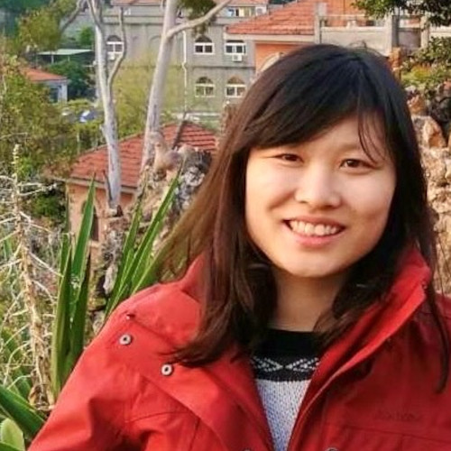
Team > Juniorprofessorin Dr. Meng Lu
 Juniorprofessorin Dr. Meng Lu

To ask the right question is harder than to answer it.
-- Georg Cantor
I am passionate about statistical and machine learning methods for spatiotemporal data analysis. My another interest is in agent-based modelling for space-time activity simulation. My recent studies focus on deep learning-based remote sensing image analysis and air pollution exposure assessment. Outside academia, I am a Go player and find my enthusiasm in sports and piano.

My research interest is coined at spatiotemporal data analytics and developed in various application domains in atmospheric science, environmental modelling, and Geo-health. I focus on the following research disciplines:
1) Remote sensing image analysis
The overarching goal is to advance spatiotemporal prediction and change detection from remote sensing images. My research centres at the development of statistical and machine learning techniques and the comparison and integration of them for image classification and change detection. The fusing of remote sensing data from different platforms, with different spatial, temporal, and spectral resolutions and optimise information extraction from multiple dimensions.
2) Spatiotemporal prediction
My research priority here is in the spatial and spatiotemporal mapping of our environment, in particular air quality, and other spatial processes such as infectious disease, from Geoscientific data of multiple sources (e.g. Earth observations, aerial images, mobile sensors, citizen science), as well as understanding the contributing sources. Specific challenges that I attempt to address are:
- Data assimilation and information integration. Integrating geospatial data from diverse sources can overcome obstacles when data from a single source is used, this requires assimilating data with different supports and from different sources.
- Spatial and spatial-temporal heterogeneity. Spatial and spatiotemporally varying relationships between predictors and response.
- Spatial and spatiotemporal prediction method optimisation. Can we find an optimal method for 1) different objectives (e.g. why are we making an air pollution map, is it for health study, risk assessment, or urban planning, does the optimal method stay the same?), 2) at different spatial and spatiotemporal scales, and 3) with different statistical and machine learning methods?
3) Agent-based modelling and exposure assessment
Exposure assessment contributes greatly to understand how the environment and our space-time activities affect our health. It is yet unknown at a city scale and larger how exposure can be assessed. My research tackles this area by developing agent-based and at a city scale and larger and using statistical models to assimilate human mobility data.

Publications

Juniorprofessorin Dr. Meng Lu
Chair Holder
E-Mail: Meng.Lu@uni-bayreuth.de
Google Scholar: My Google Scholar
Phone: +49 (0)921 / 55-2171
Room: 161, GEO II
Office hours: by appointment
