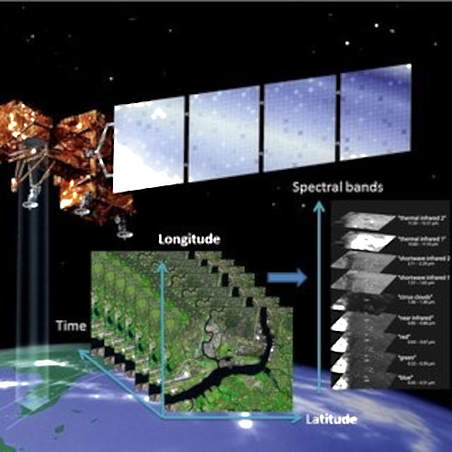
Remote sensing image analysis
With improvements in data availability, coverage, resolution, and diversity, remote sensing data can potentially provide a huge amount of information and knowledge. On one hand, machine learning, (particularly deep learning techniques), has drastically altered the methodological landscape of remote sensing and stimulated numerous novel applications. On the other hand, the challenges of properly using the data and methods, assessing the uncertainty in the modelling process, and understanding the knowledge we can/cannot not gain from the remote sensing data are becoming more and more prominent. We aim to better understand these questions in our research.
We are currently working on the research topics below:
Image classification
|
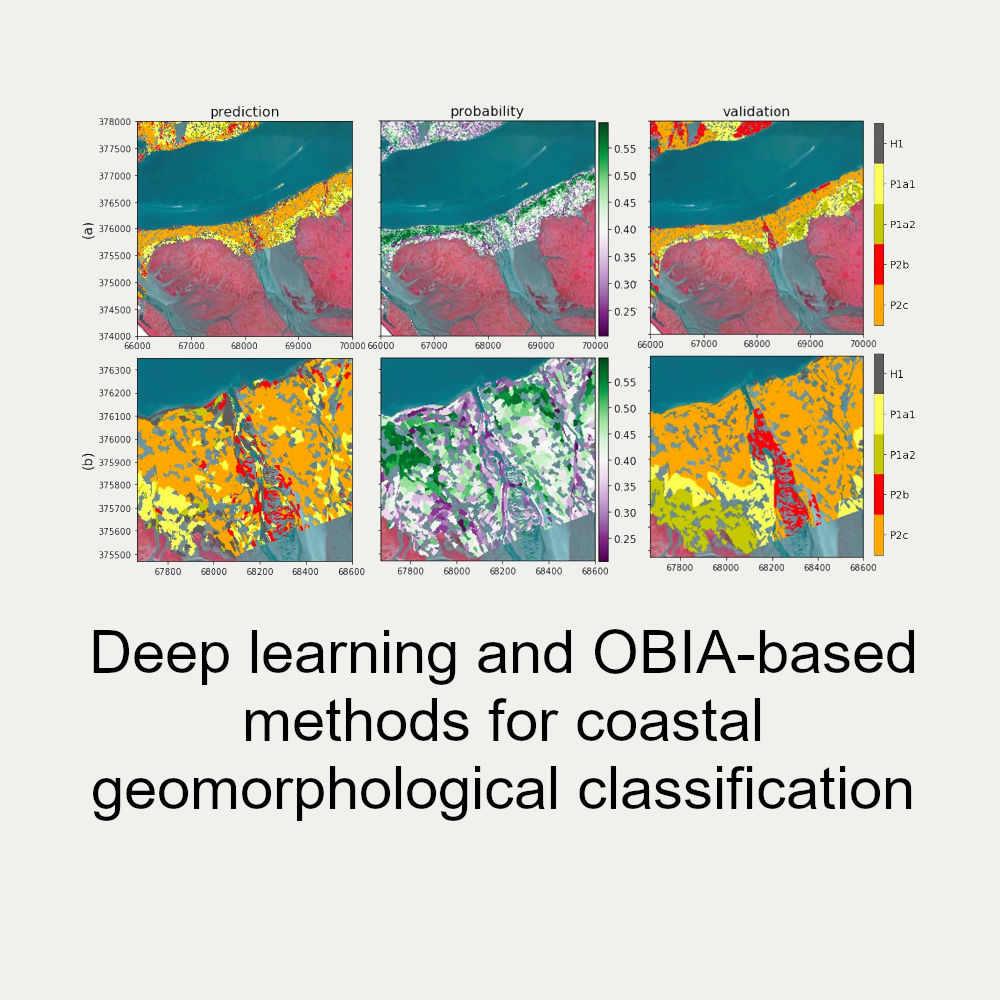
Deep learning and OBIA-based methods for coastal geomorphological classification. |
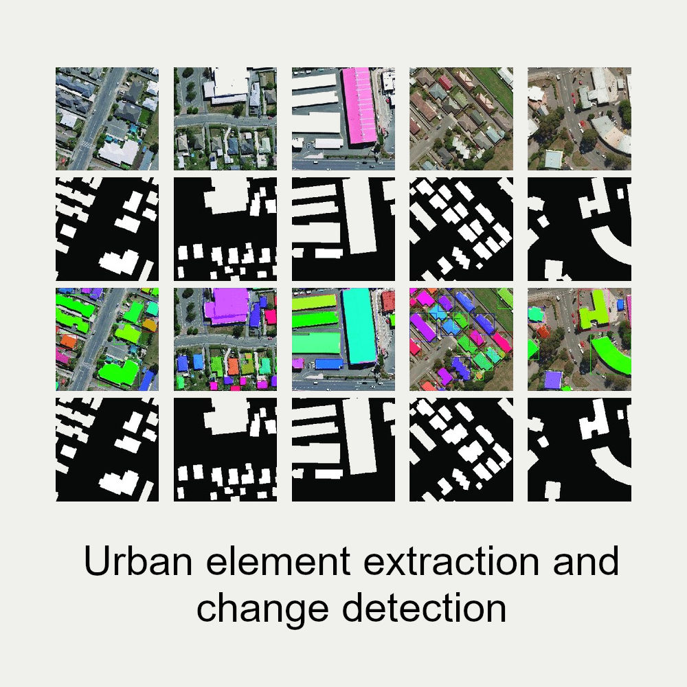
Urban element extraction and change detection. |
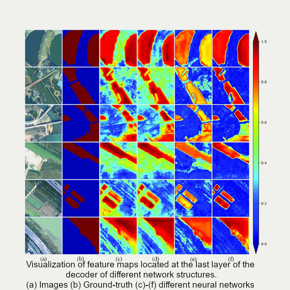
Water body segmentation. |
||
|
|
 |
|
||
|
Coastal geomorphological classification from aerial imagery with optical and infrared bands and Lidar. https://doi.org/10.5194/isprs-archives-XLIII-B3-2021-75-2021, 2021. |
Ji S, Shen Y, Lu M, Zhang Y. |
Zhang Z, Lu M, Ji S, Yu H, Nie C. Rich |
We focus on machine learning methods and specifically;
- Transfer learning. Improving model generality for data from different sources.
- Image fusion and downscaling: innovating current image fusion and downscaling methods using machine learning.
- Spatiotemporal and multi-spectral information integration: developing algorithms that flexibly and explicitly model spectral and spatiotemporal information, as well as image pre-processing and postprocessing approaches.
- Weakly and unsupervised learning to reduce the dependency on (perfect) labels and to include priors or additional information.
- Generative models for feature simulation, transfer learning, and better image classification.
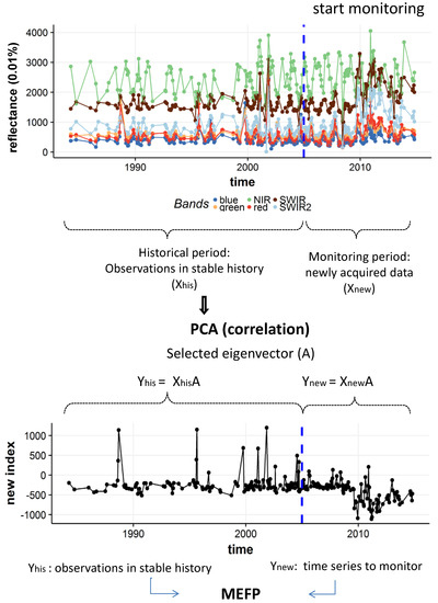
Change detection from remote sensing image time series and information integration from multispectral, spatiotemporal arrays
 |
Lu, M., Pebesma, E., Sanchez, A., & Verbesselt, J. (2016). Spatio-temporal change detection from multidimensional arrays: Detecting deforestation from MODIS time series. ISPRS Journal of Photogrammetry and Remote Sensing, 227-236. [117]. https://doi.org/10.1016/j.isprsjprs.2016.03.007 |
|
 |
|